Railway logistics 1830s
Bradshaw and the railway traveller
The expanding railways created a new reading problem for travellers: lines built by different companies had to be understood as possible journeys. George Bradshaw’s small publications brought railway information into a portable form. This 1839 volume combines a dated title page with a map distinguishing lines already open from those still in progress. That distinction mattered to anyone trying to travel rather than simply imagine a future network. Engraving, printing and frequent revision became part of railway infrastructure, helping passengers turn an expanding collection of tracks into plans for movement.
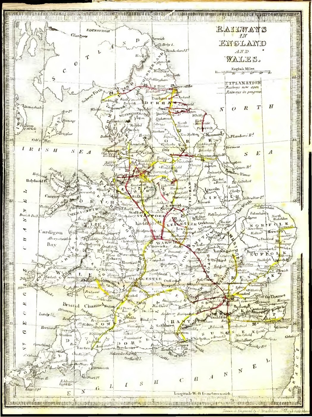
A closer look: An unfinished railway network
A railway map can include both service and expectation. The separate signs for open lines and lines in progress show a network still being made. For contemporary readers, the map connected an industrial transformation across the country with the immediate question of where a train could actually take them.
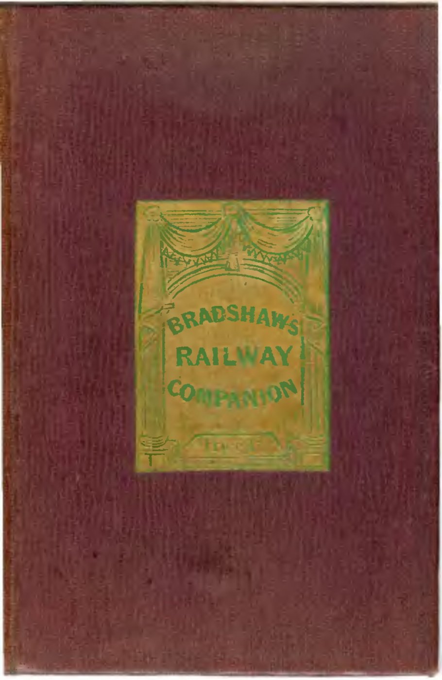
A closer look: The companion’s cover
The cover belongs to a publication designed to be carried and consulted. Bradshaw’s name would become closely associated with railway information as the network grew. The modest format is a reminder that useful travel publishing depended on portability as well as the amount of detail it could hold.
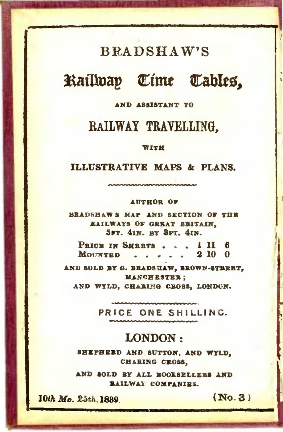
A closer look: The title page dates the guide
The title page dates this issue to 25 October 1839. A dated railway publication records a moment in a rapidly changing system: new routes could open while old information was still in someone’s pocket. Its printing and sales details also connect the guide with the publishing businesses that supported railway travel.
The history behind it
What the source establishes
The map is useful because it includes an expanding network, but expansion creates precisely the risk in the traveller’s assumption. Open lines and lines in progress are different categories. Even an open connection needs an actual service and time before it becomes a workable journey. The title page supplies publication context and a guide price, not a universal fare schedule. Its London and Manchester addresses belong to distribution, while the map names England and Wales. These three pages corroborate the identity and intended use of the book without supplying every operational detail inside the full volume.
Dates, places and close alternatives
The title page’s October 25, 1839 date identifies this guide rather than a famous railway milestone. The map heading names England and Wales; publisher addresses do not define the mapped coverage. An itinerary requires an open route and a matching service time, neither of which follows from a line’s mere presence.
Plans and operations require different evidence
An infrastructure map may include planned, unfinished and operating links because each is relevant to its intended audience. Before turning any link into a promise, inspect its status category. Then consult a source for the actual date, service and fare being claimed. The guide’s title page verifies publication and sale, while its cover verifies the book’s identity; neither supplies every operational condition needed to complete a journey.
A few things to read next
Books for a longer visit, and a few good places to start online. These are ordinary links, with no affiliate commission.
On the bookshelf
Bradshaw’s Railway Timetables, 1839
Browse the original 1839 volume, including the cover, title page and map.
Fire and Steam: How the Railways Transformed Britain
Read the larger history of railway building and its effects on Britain.
The Railway Journey: The Industrialization of Time and Space in the Nineteenth Century
Explores how railway travel changed experiences of distance, time and the landscape.
Read online
Bradshaw’s Guide
A starting point for names, dates and related subjects. Follow its references when you want to go further.
Bradshaw’s Railway Time Tables, and Assistant to Railway Travelling
A related 1839 issue provides context for early Bradshaw railway publishing.
Bradshaw & Blacklock
The printing partnership and the development of its railway publications.
Where the pictures come from
The original records and their individual rights statements are below. The pictures have not been generated or altered for the game.
Map from Bradshaw’s Railway Timetables, no. 3, 1839, scan page 3.
George Bradshaw, Bradshaw’s Railway Timetables, no. 3 (1839), page 3 / Internet Archive / Wikimedia Commons · 1839
Public domain: faithful mechanical scan of an original by George Bradshaw, who died in 1853.
Original cover, scan page 1 of the same Bradshaw volume.
Bradshaw’s Railway Timetables, no. 3, scan page 1 / Internet Archive / Wikimedia Commons · 1839
Public domain; mechanical scan of a public-domain original.
Title page of Bradshaw’s Railway Timetables, no. 3; scan page 2.
Bradshaw’s Railway Timetables, no. 3, scan page 2 / Internet Archive / Wikimedia Commons · 25 October 1839 (printed as 10th Mo. 25th, 1839)
Public domain; mechanical scan of a public-domain original.
History notes and reading lists prepared for Then & Found with AI assistance. The source institutions and authors are not sponsors or endorsers. Suggest a correction or another source


